Share the mission context
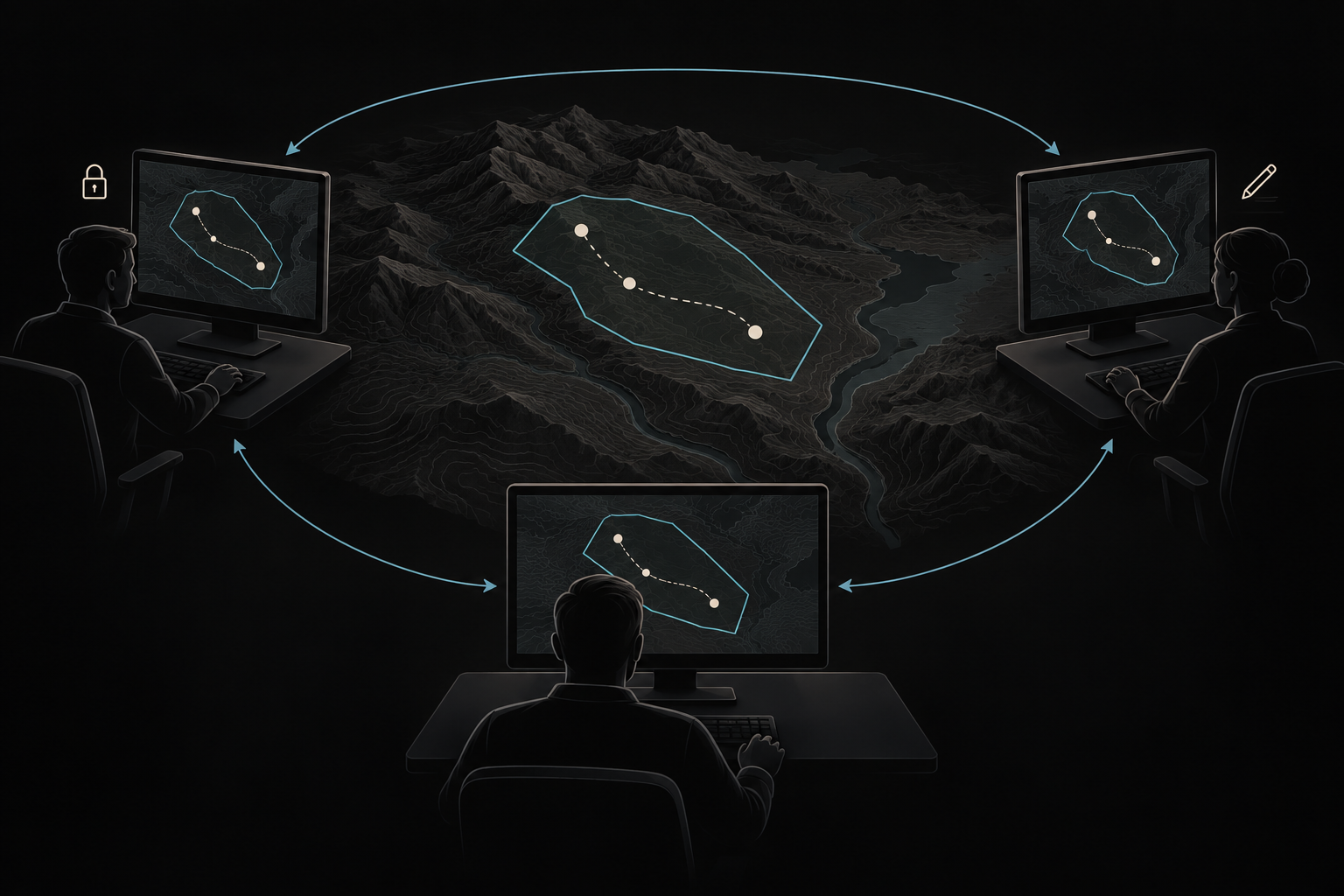
Share map drawings, airspace, operational areas and routes with connected workstations. Operators can locate shared objects within their own map view.
 VECTORRequest demo
NORTHSTAR / VECTOR
From preparation to operation. Keep the mission in context.
WORKING WITH VECTOR
Start with the operating area, develop the plan and carry that context into execution.
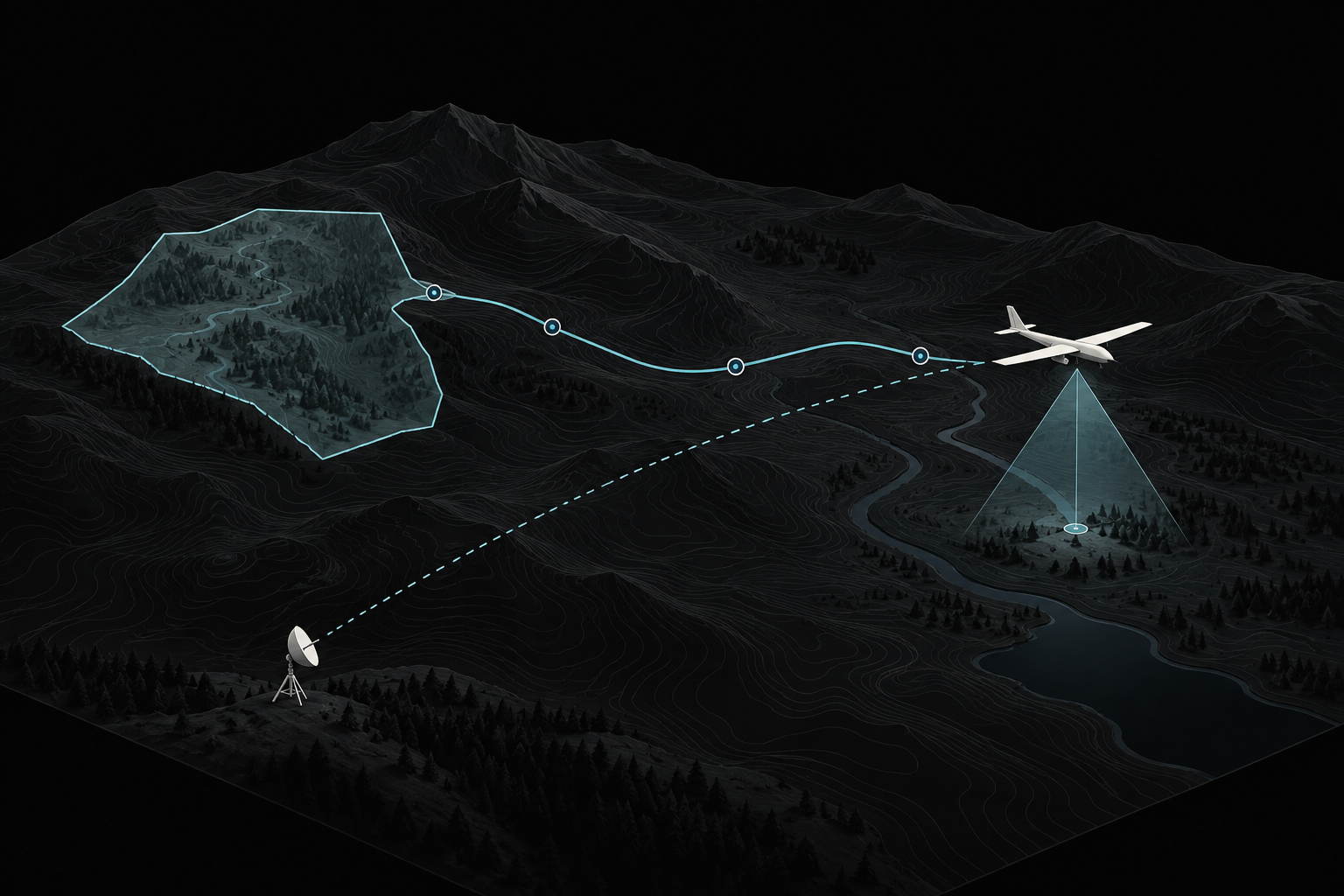
Load the maps you need and mark the operating area. Establish the geographic context before building the plan.
Lay out the route or search pattern, then review it against terrain and the relevant mission boundaries.
Select the mission aircraft and inspect the available telemetry. Confirm the connection and control authority before sending supported commands.
Monitor aircraft progress alongside the plan. Open available video and sensor information to understand observations in their geographic context.
Connecting your aircraft and sensors? Explore the supported interfaces and deployment considerations.
Architecture and integrationsYOUR NEXT PERSPECTIVE
Explore the platform through the workflows that matter to your team.
Request a demo