Map drawings
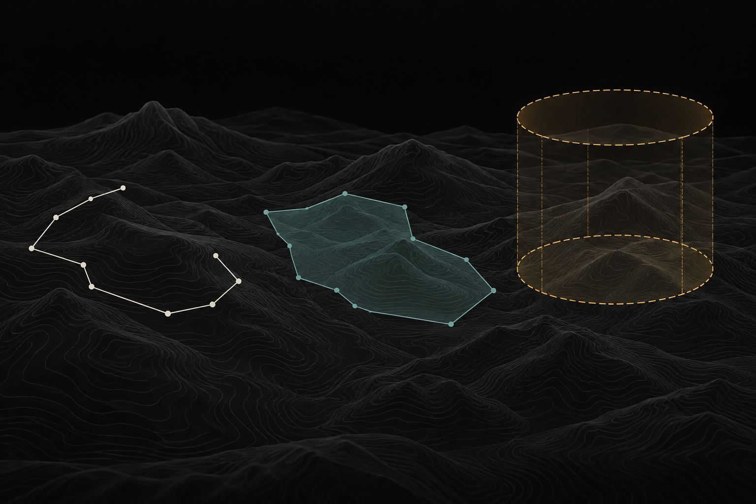
Use points, lines and shapes to mark locations and describe geographic boundaries.
 VECTORRequest demo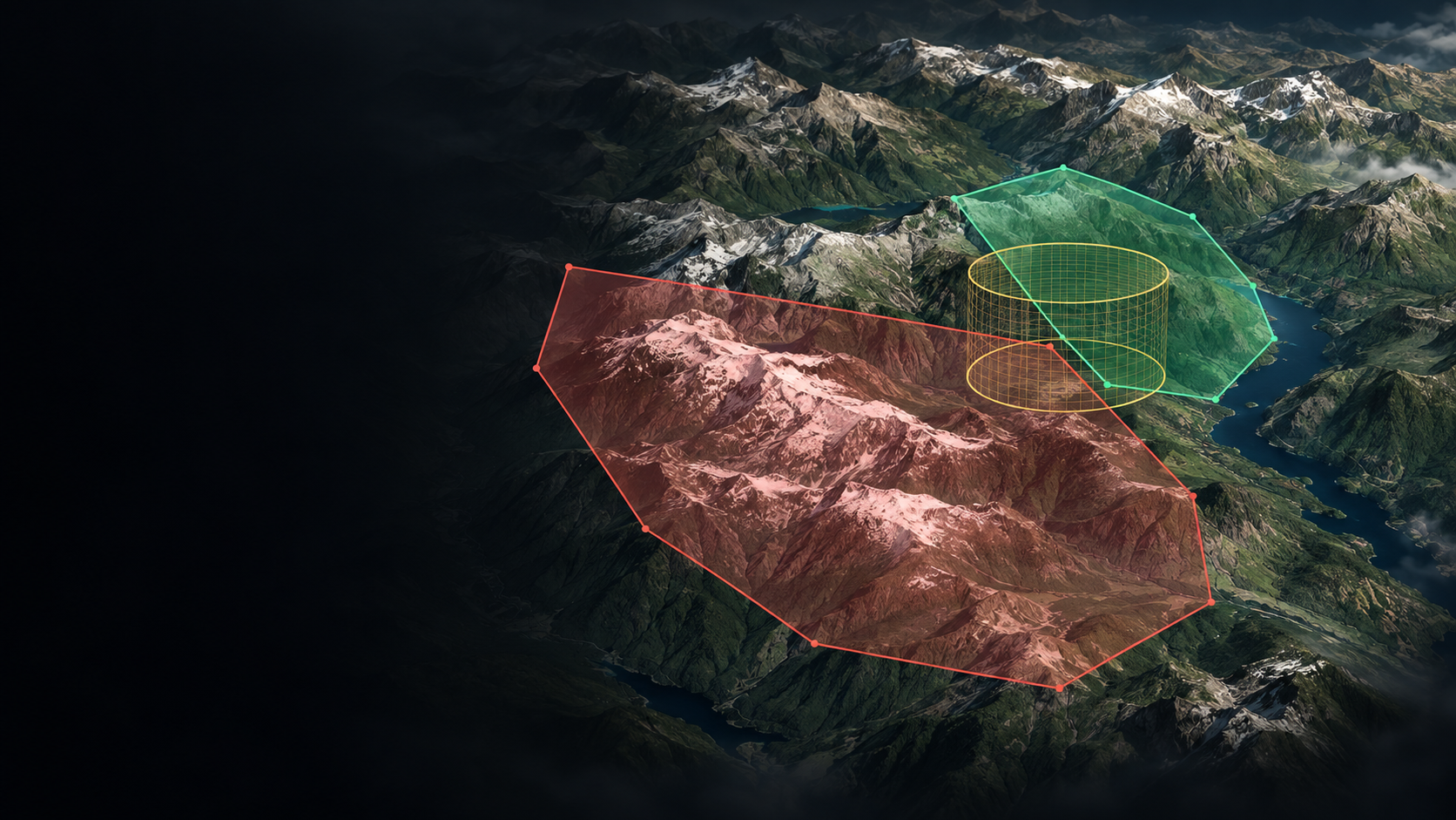
VECTOR / CAPABILITIES
Give every boundary context.
MAPS & AIRSPACE
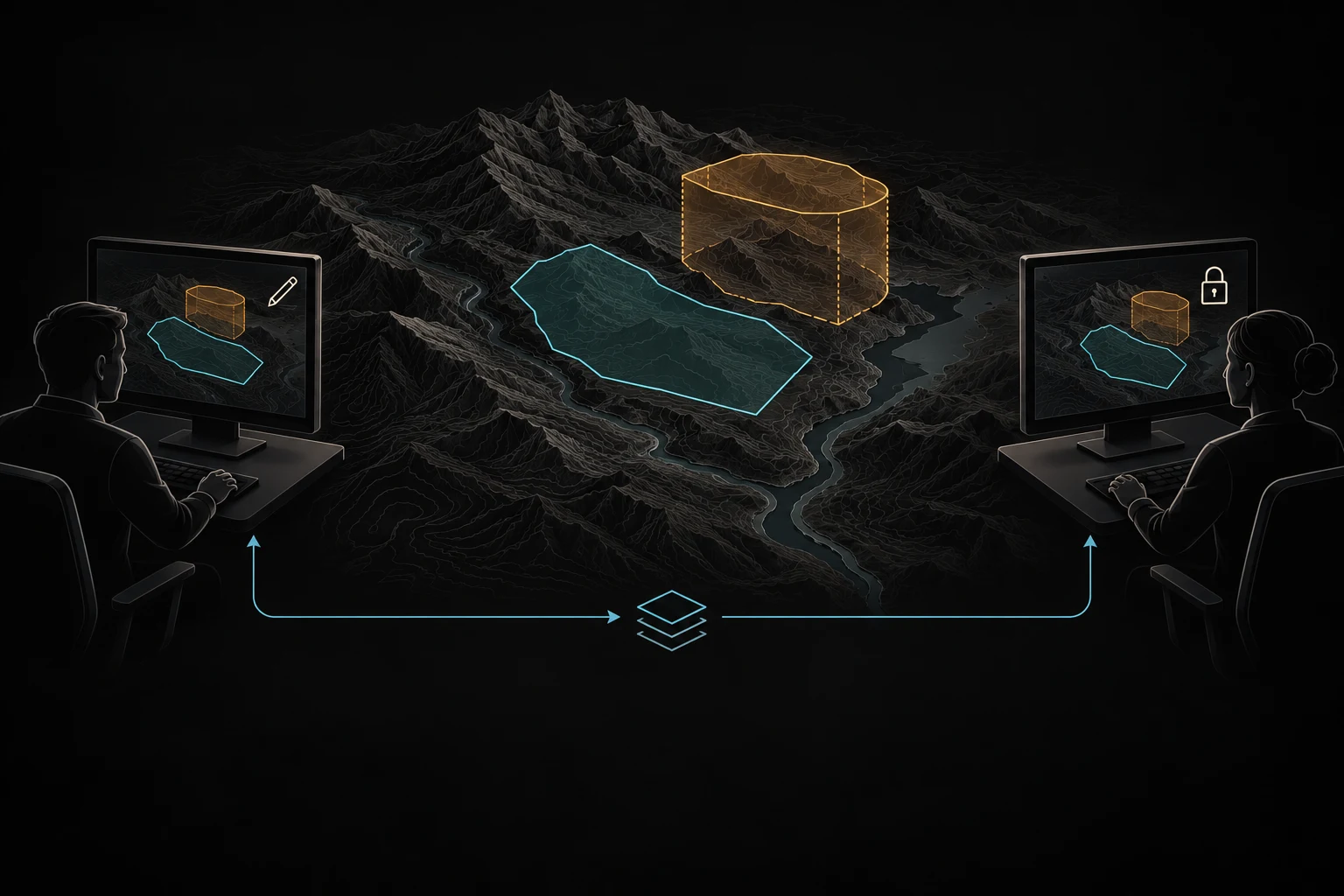
View map drawings, mission areas and airspace boundaries together in 2D and 3D. Inspect their details alongside the surrounding terrain.
YOUR NEXT PERSPECTIVE
Explore the platform through the workflows that matter to your team.
Request a demo